Gàranasèohkka (497 m) is the Sami name of the highest peak in the municipality of Sør-Varanger in the county of Finnmark in Norway. If you might wonder how to pronounce Gàranasèohkka, I cannot tell you either. And it seems that I’m not the only one who doesn’t know how to pronounce Gàranasèohkka because normally everybody calls the mountain Bugøynestoppen. Bugøynes is a small and picturesque fishing village close by and that’s why the mountain is called Bugøynestoppen (topp = peak in Norwegian).
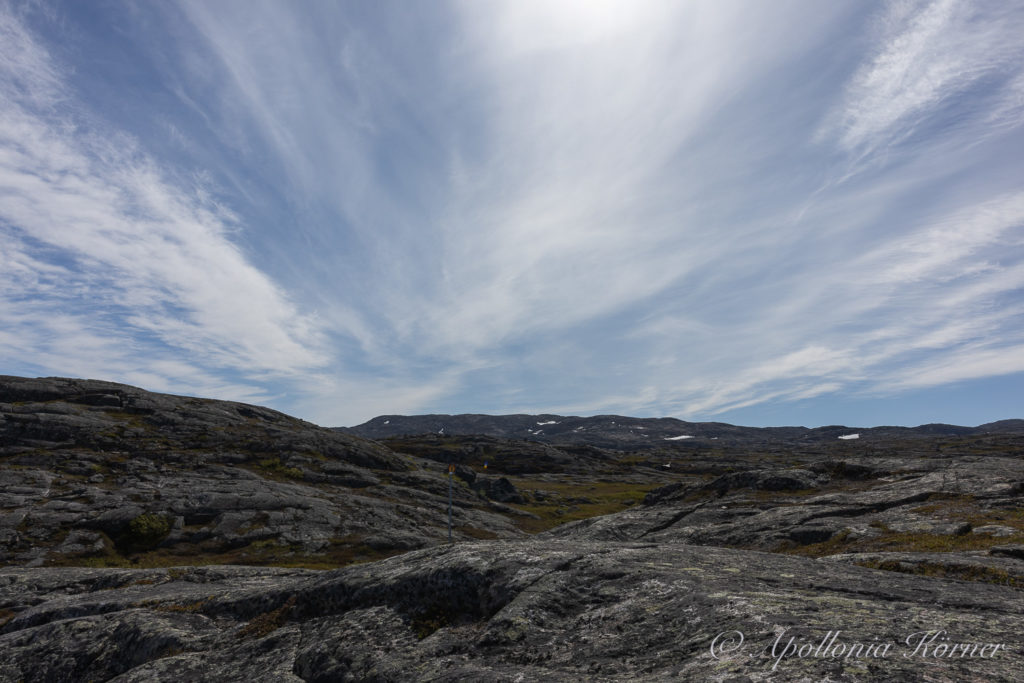
The peak of the mountain is somewhere behind that mountain range. But, since the tour is starting almost at sea level, you have to go up the complete difference in altitude of almost five hundred meters. But the way is marked very well and it is easy to find.
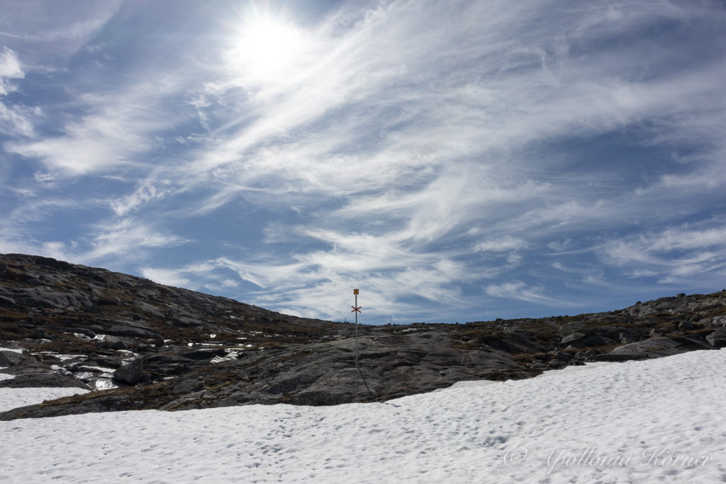
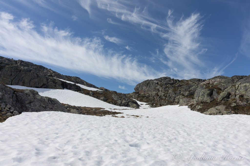
But there is still a lot of snow at the mountain and we have to cross many snowfields. This time, not only Taiga joins me on this trip but also Ørjan and Koss. So almost the whole family goes up to the top. Only Leif our oldest dog had to stay at home because this trip would be far too long for him.
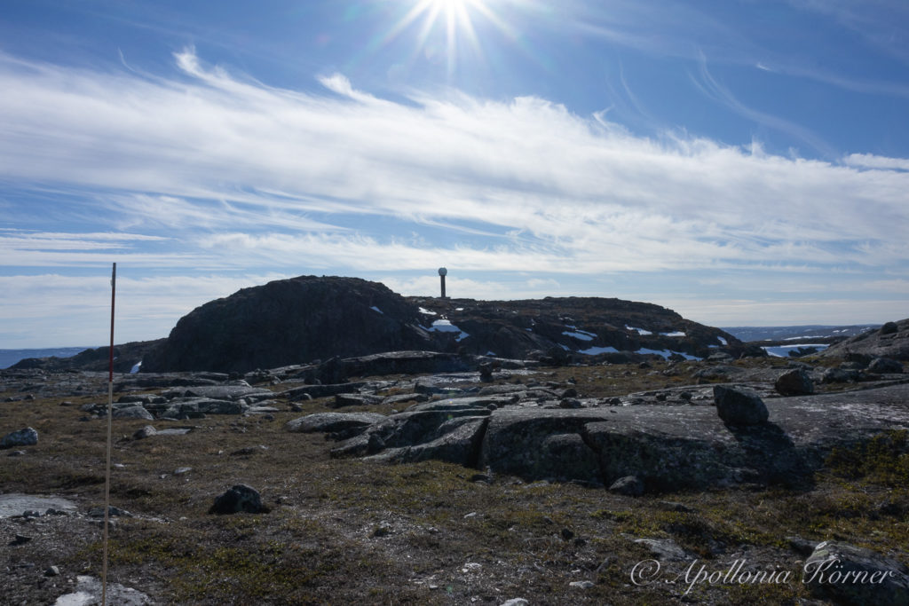
On this tour, the peak is hiding for quite a long time. Only after three quarters of the way we can see the peak for the first time. But, on the other hand, the peak is easy to recognize because there is a pillar with a big globe on top standing at the peak. This is a flight radar from Avinor which was erected in 2010.
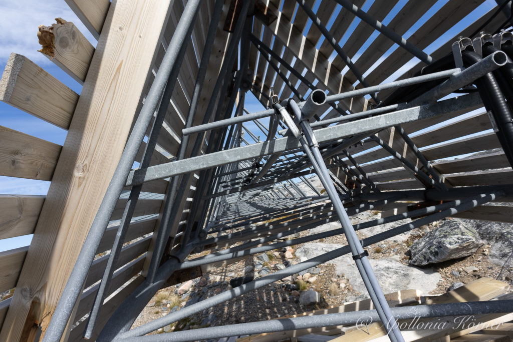
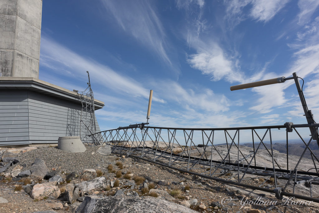
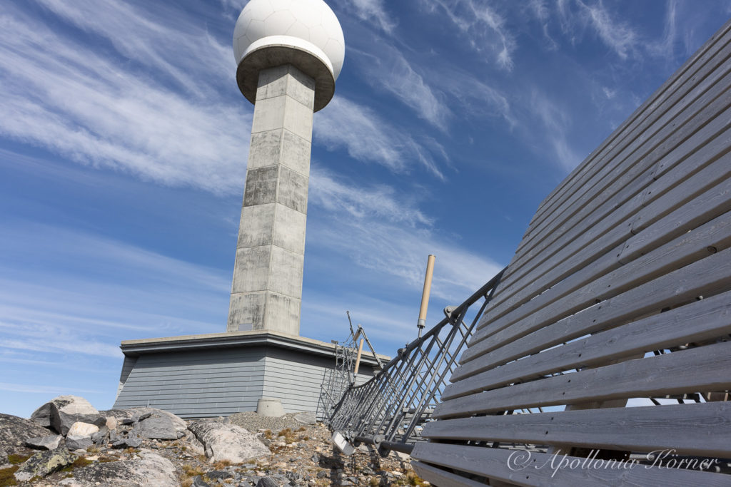
But what we can not see from afar is this strange work of art. Or shall I call this construction rather “failed engineering”? Anyway, it didn’t seem to be wind-proof enough for arctic conditions.
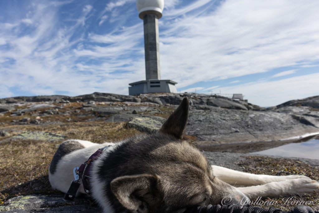
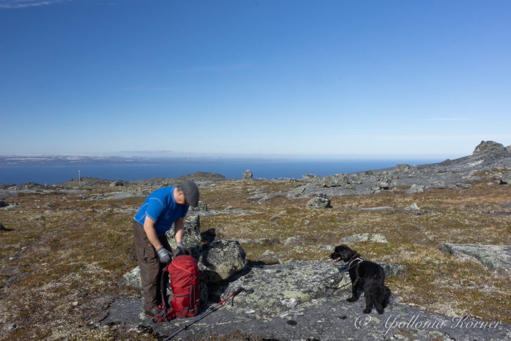
Instead of posing for picture at the peak, we rather relax. At least Taiga deserves a break because she was pulling both Ørjan and me in turn up this mountain.